[ad_1]
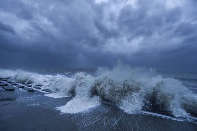
Bhubaneswar: The India Meteorological Department (IMD) reported the formation of a low-pressure area over the northwest Bay of Bengal and adjacent regions of West Bengal and Bangladesh on Friday morning.
This development is due to a cyclonic circulation over southern Bangladesh and nearby Gangetic West Bengal.
The associated cyclonic circulation reaches mid-tropospheric levels and tilts southwestwards with height. Over the next 2-3 days, the system is expected to intensify and shift west-northwestwards across Gangetic West Bengal and Jharkhand.
The IMD forecasts heavy to very heavy rainfall in certain areas, with the possibility of extremely heavy rain in the districts of Balasore, Bhadrak, Mayurbhanj, and Kendrapada. Similarly, heavy to very heavy rain may occur in the districts of Keonjhar, Sundargarh, Jharsuguda, Sambalpur, Bargarh, Deogarh, and Angul, with heavy rainfall expected in Dhenkanal, Jagatsinghpur, and Cuttack.
Intense rainfall may lead to poor visibility, traffic disruptions, waterlogging in low-lying areas, and potential submersion of roads and drains.
Consequently, the Special Relief Commissioner (SRC) has instructed district Collectors to prepare for any emergencies, ensure stormwater channels are clear, and deploy de-watering pumps as needed. Restrictions on the movement of vehicles and people on flooded roads and bridges are advised.
[ad_2]

